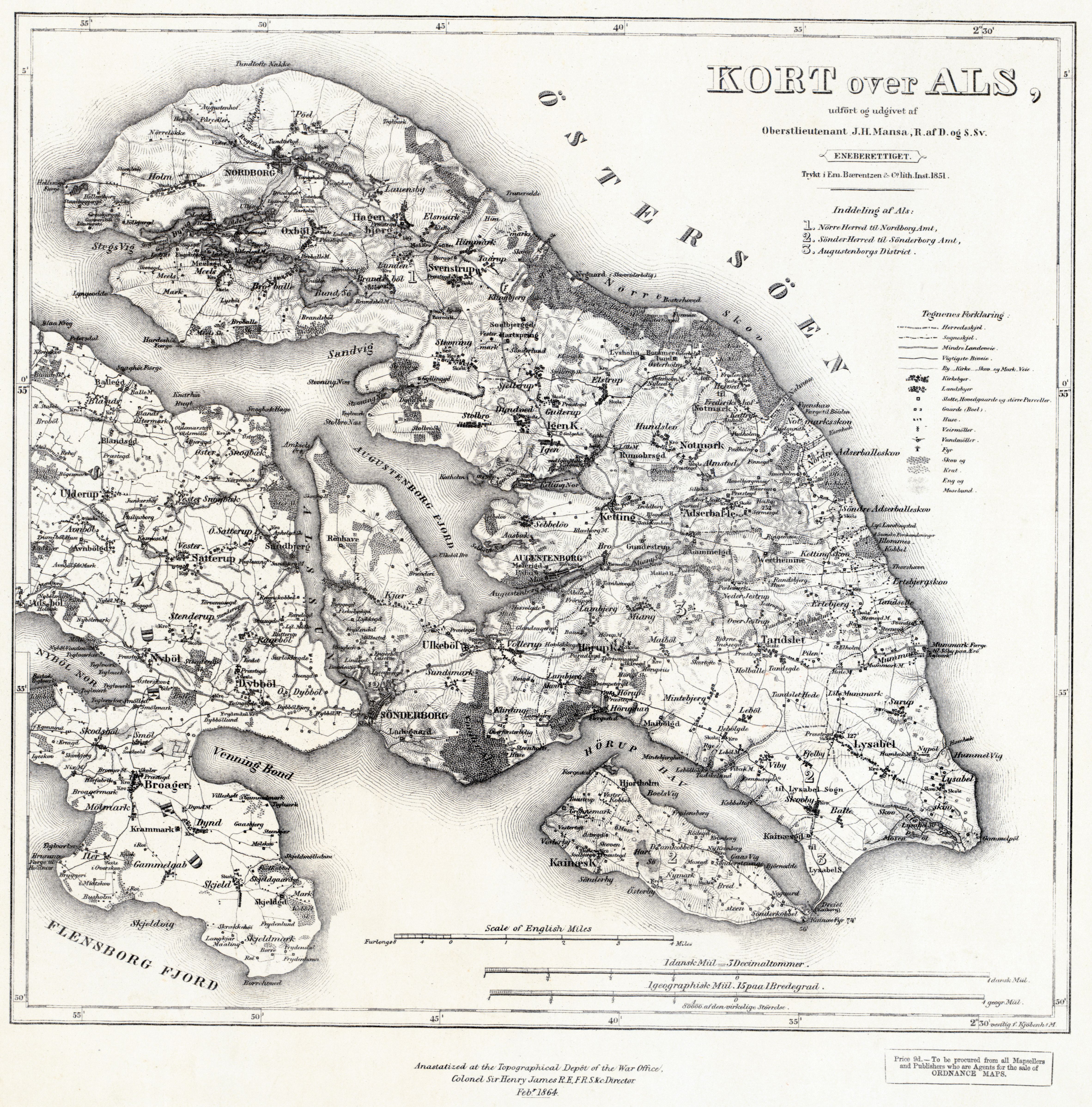
Military map of the Danish Island of Als (1851)
Military map of the Danish Island of Als – drawn at the conclusion of the 1st War of Schleswig-Holstein in 1851 ; produced in the outbreak of the 2nd Schleswig-Holstein war in 1864
[4728 × 4791]
“I just glanced at the picture before reading the titel and was like ‘wtf, why is that a picture of Als’”–Packimus