Comparative Size of Lakes and Islands from 1855
Comparative Size of Lakes and Islands from 1855
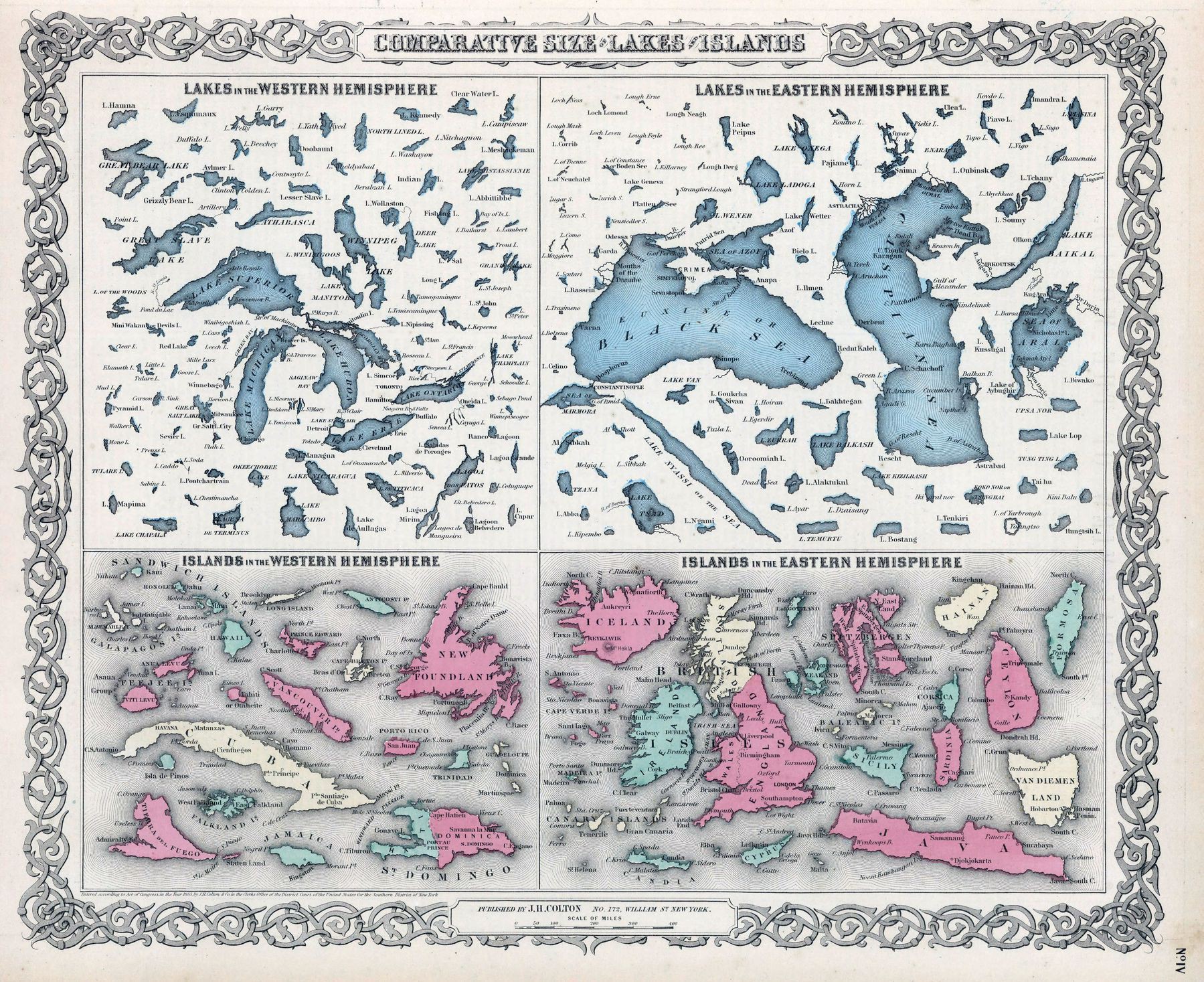
‘It may look small on the map, but Tulare Lake in California (lower left in Western Hemisphere map) was once the largest freshwater lake west of the Great Lakes until the end of the 19th century. It stretched north of Fresno to south of Bakersfield and filled the San Joaquin Valley between the Coast Ranges and Sierra Nevadas. This was until agricultural development began and the lake was drained. It’s interesting that the map includes Mono Lake but not Owens Lake because both of those lakes continue to face similar issues today as a result of agricultural practices and the City of Los Angeles funneling water to southern California’–mypatronusislasagna