1909 Ottoman Map of the Arabian Peninsula
1909 Ottoman Map of the Arabian Peninsula
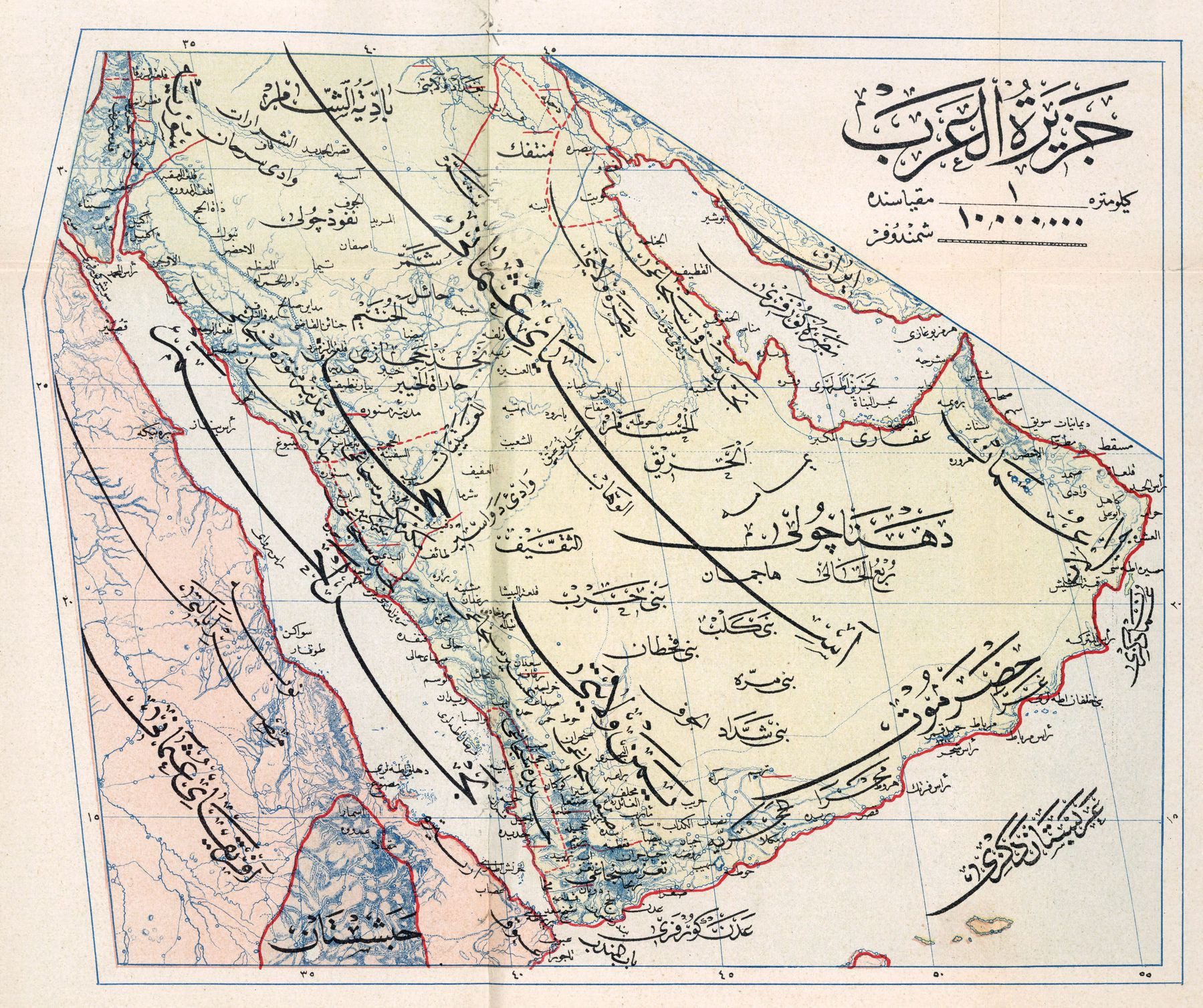
‘I believe those are just extended letterforms. If it’s 1909, the Ottoman Empire used the Arabic script for official documents, which is seen here. This script allows for words to be extended by those horizontal lines (called a “kashida”) for aesthetic or functional purposes (or both). In this case it seems to be for the purpose of creating a hierarchy of information where the large text would name a region (i.e. Egypt, Hejaz, Red Sea, etc.) but the extenders would leave space for smaller text and information to branch off them. Certainly a different approach to graphic arts than with Latin alphabet, but one that seems based on the aspects of the written language itself’–threeleaps