Map from the 1810s of the State of Mississippi and Alabama Territory
Map from the 1810s of the State of Mississippi and Alabama Territory
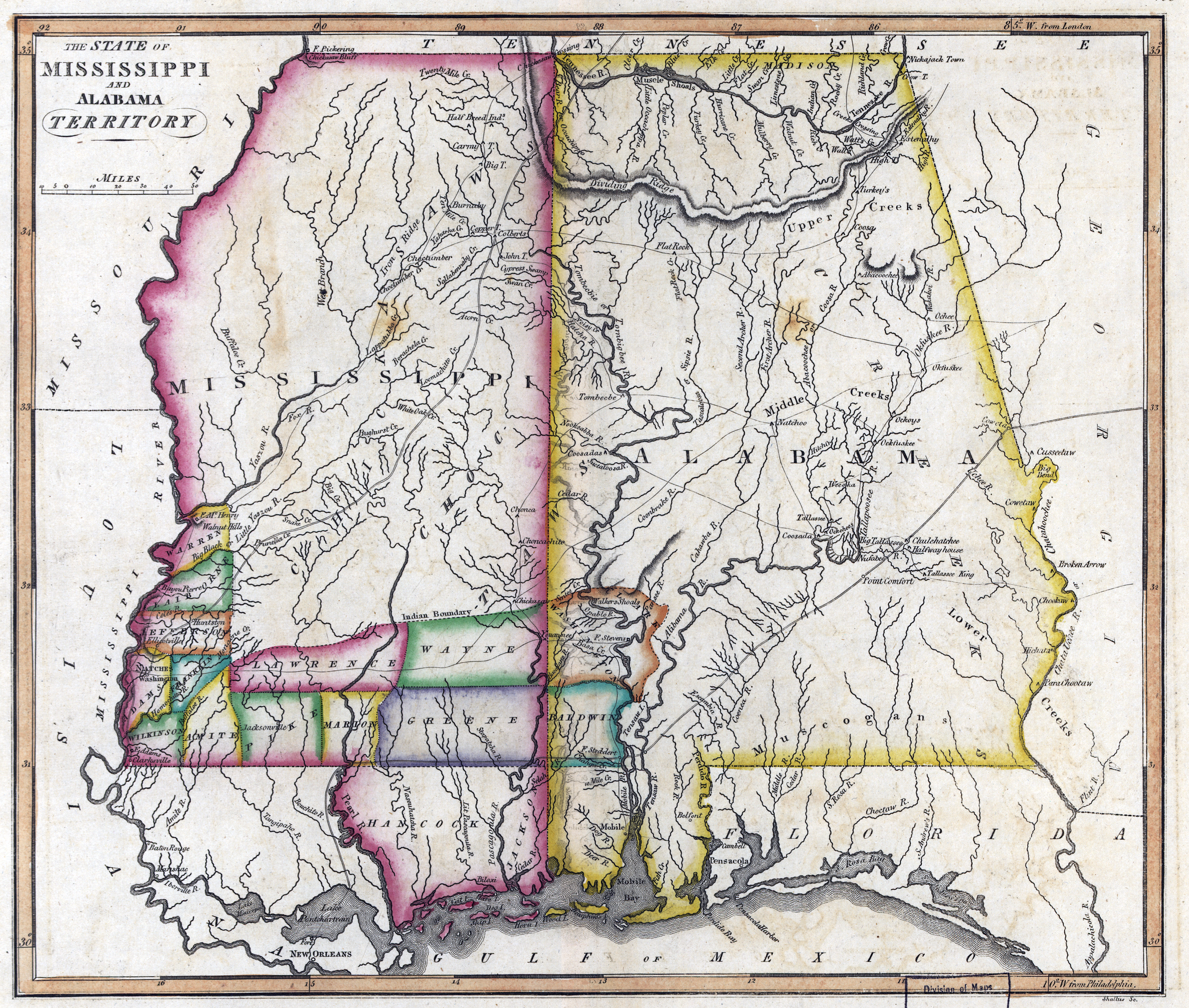
‘From: Samuel Lewis atlas, 1817’–AJgloe
Map from the 1810s of the State of Mississippi and Alabama Territory
‘From: Samuel Lewis atlas, 1817’–AJgloe