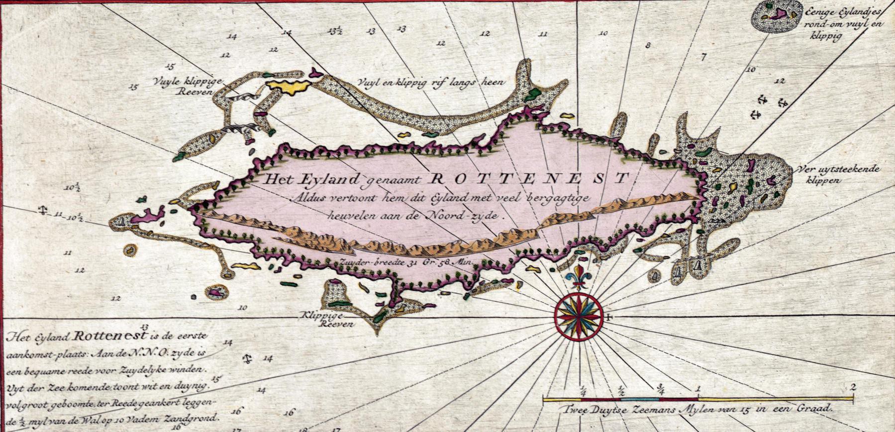
1753 map of Rottnest Island (with a mountain range on the south side)
1753 map of Rottnest Island (with a mountain range on the south side). Willem de Vlamingh [Dutch Explorer] called the island ’t Eylandt ’t Rottenest (“Rats’ Nest Island”) in 1696. The ‘rats’ of course, were the native Quokka population
‘Noongar people know the Island as Wadjemup. They have an oral story dating from the time when the island was separated from the mainland, telling of the sea level rising. That happened about 7000 years ago. It was also used as a prison for Indigenous people from all over Western Australia. About 3700 Indigenous prisoners were sent there overall. Many of them died horribly of disease while imprisoned … An estimated 370 Indigenous men died on the island and were buried on top of each other so much so that it created hills. Then Tentland was built on top of their graves and their prison was used for accomodation. It makes me sick that I was going to Rottnest for so long and there wasn’t even any mention of this dark history. There’s so many heartbreaking factors to their imprisonment. The local Whadjuk people saw the island as a sacred place of the spirits and not as a place for them’