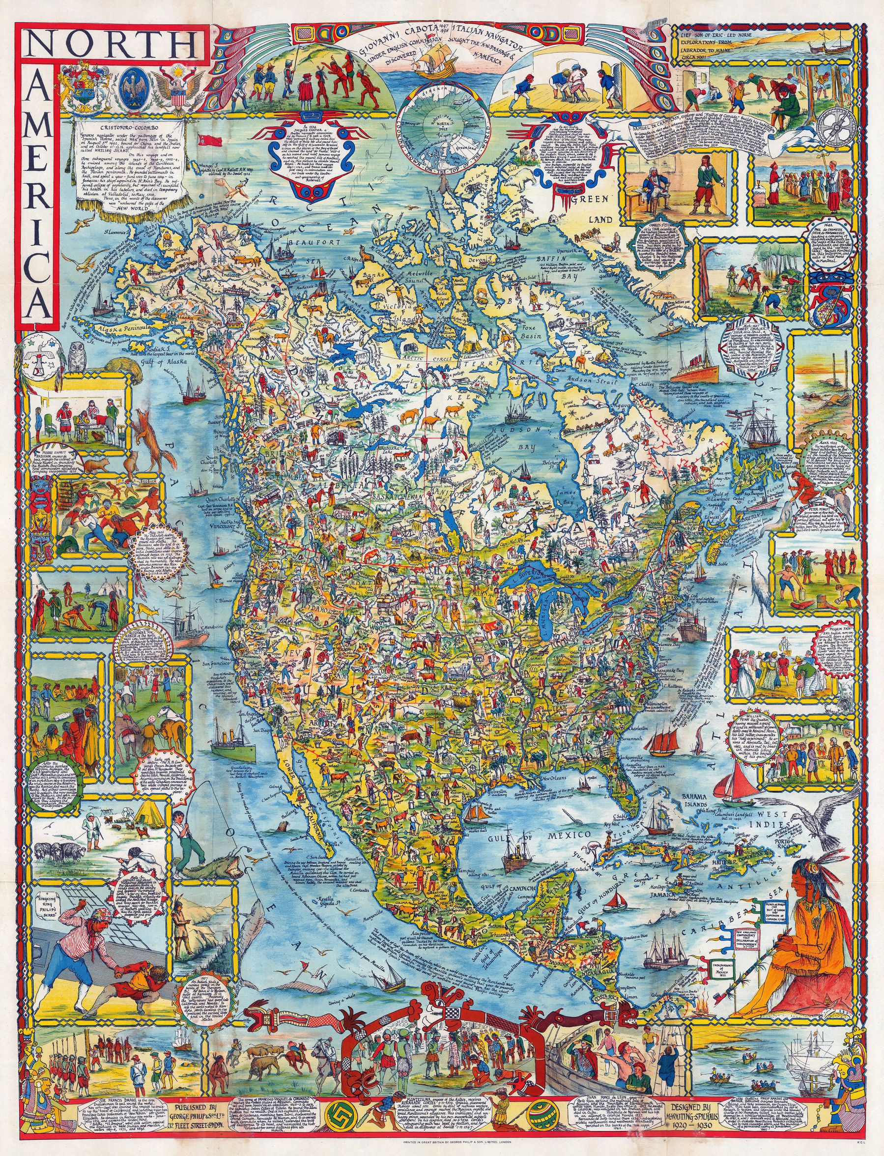
Pictorial map of North America (1930) - by Margaret Whiting Spilhaus
Pictorial map of North America (1930) - by Margaret Whiting Spilhaus
‘See?! What did I say? The world was crazy for pictorial maps in the 30s and 40s’–corruptrevolutionary
Pictorial map of North America (1930) - by Margaret Whiting Spilhaus
‘See?! What did I say? The world was crazy for pictorial maps in the 30s and 40s’–corruptrevolutionary