The Mid-Atlantic Plains : inverted relief map
The Mid-Atlantic Plains : inverted relief map
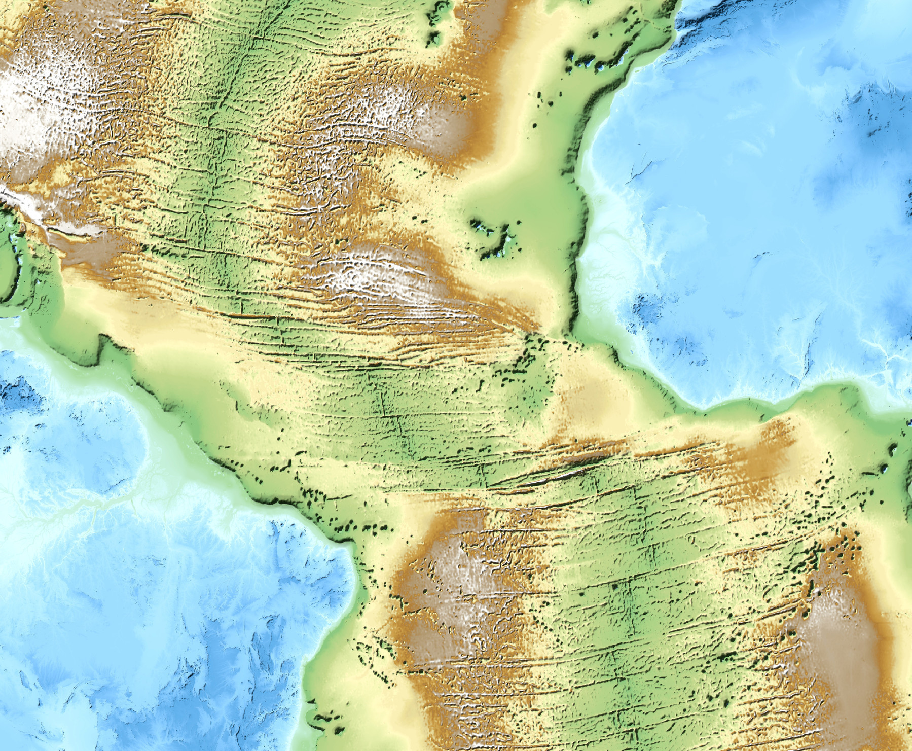
‘Wouldn’t that like all be desert in the middle? … Yes, probably.
This is a topographical map, so colors don’t mean plant cover, just altitude. Green=lowlands, brown=highlands, white=peaks (more or less)
Inverted topograpy transforms the abissal plains into high plateaus and the mid-atlantic ridge into a wide valley’