1940 hand drawn map of Macao, based on a 1650 map
1940 hand drawn map of Macao, based on a 1650 map
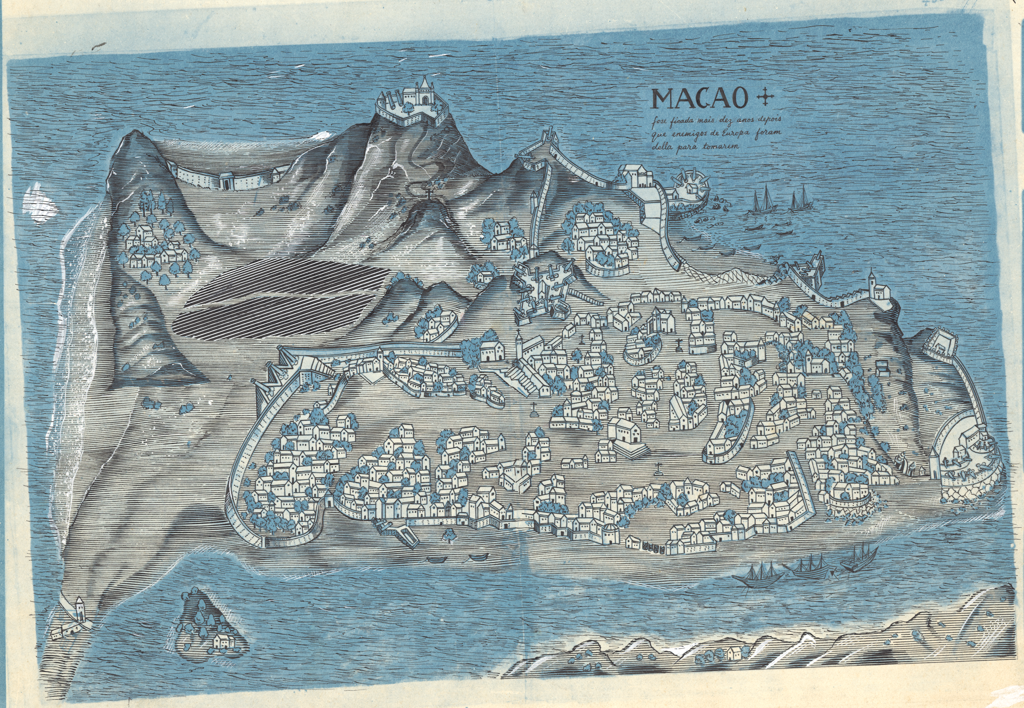
‘The elevation exaggeration is out of control! That tallest hill (Guia Hill) is only 91m/300ft high…
Was it common for the Portuguese to erect crosses everywhere in town? I see one on the plaza in front of St Paul’s Church and many others dotted around’–EconomicSanction