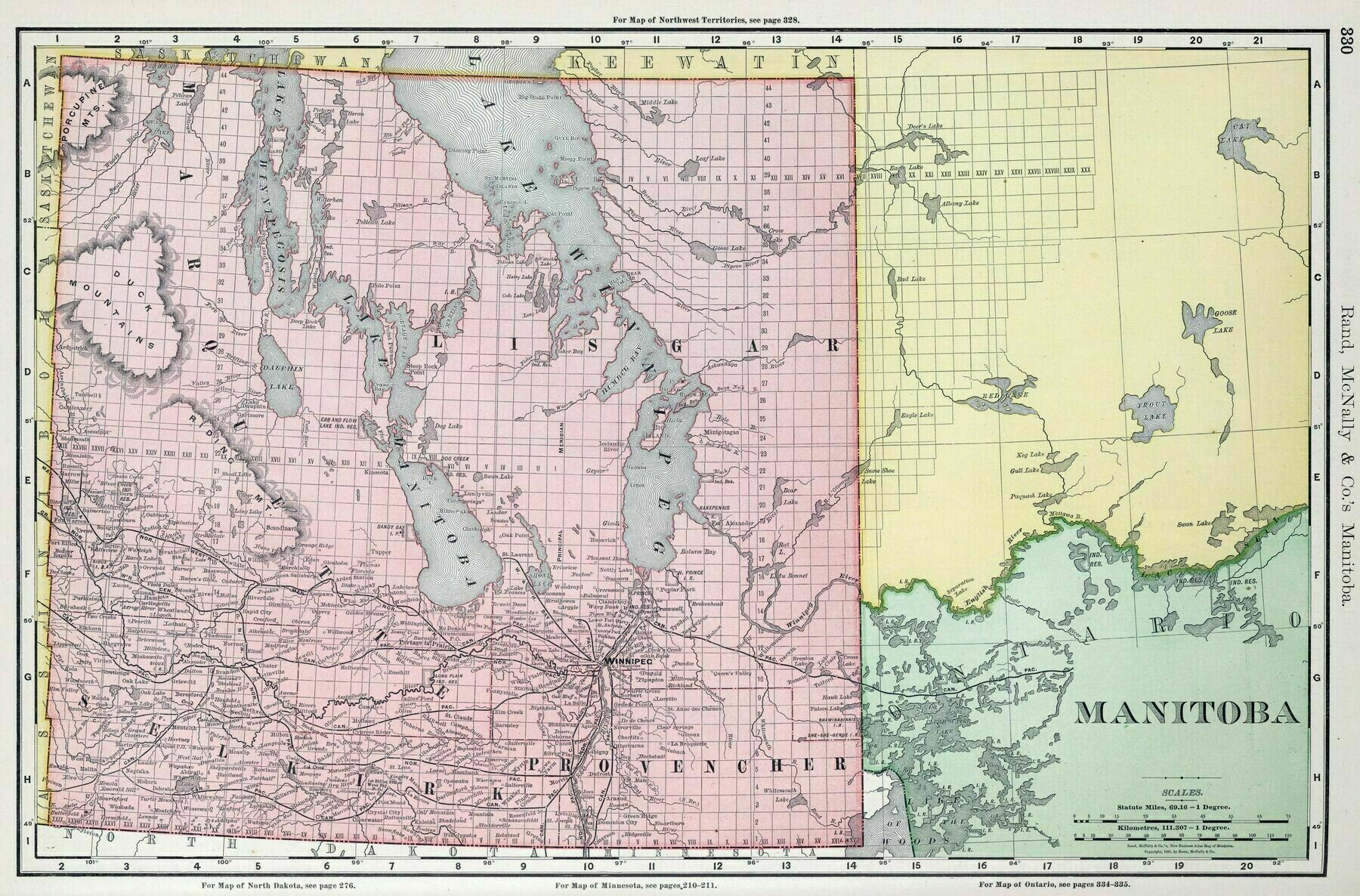
1894 map of Manitoba
1894 map of Manitoba
‘That land was surveyed in imperial units. I was curious whether this map showed imperial or metric surveys, so I looked it up.
The land offices now accept plots in both, converting imperial surveys to metric’–Kendota_Tanassian