Illustrated map from the 1930s of the Empire of Japan
Illustrated map from the 1930s of the Empire of Japan - drawn by Yamagami Kiji. In addition to [modern day] Japan, it also includes Taiwan, Korea, Manchuria and southern Sakhalin
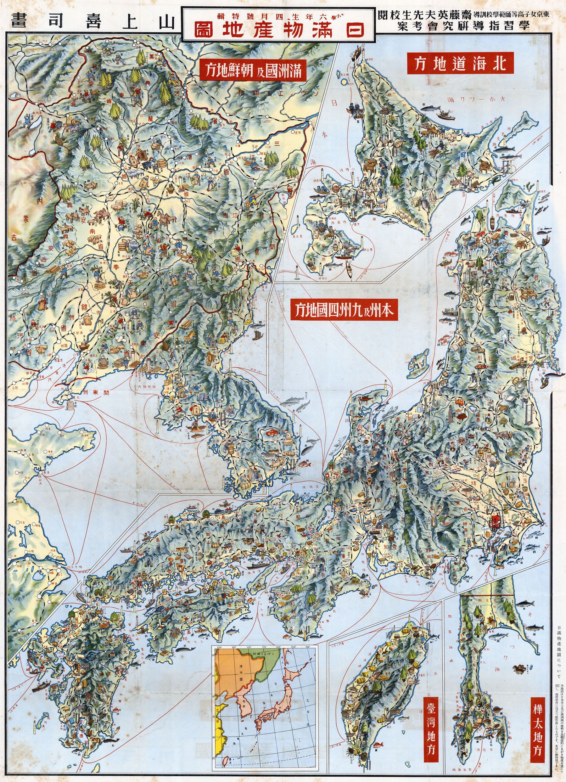
Illustrated map from the 1930s of the Empire of Japan - drawn by Yamagami Kiji. In addition to [modern day] Japan, it also includes Taiwan, Korea, Manchuria and southern Sakhalin