Early/mid 17th century map of Europe - by Willem Janszoon Blaeu
Early/mid 17th century map of Europe - by Willem Janszoon Blaeu
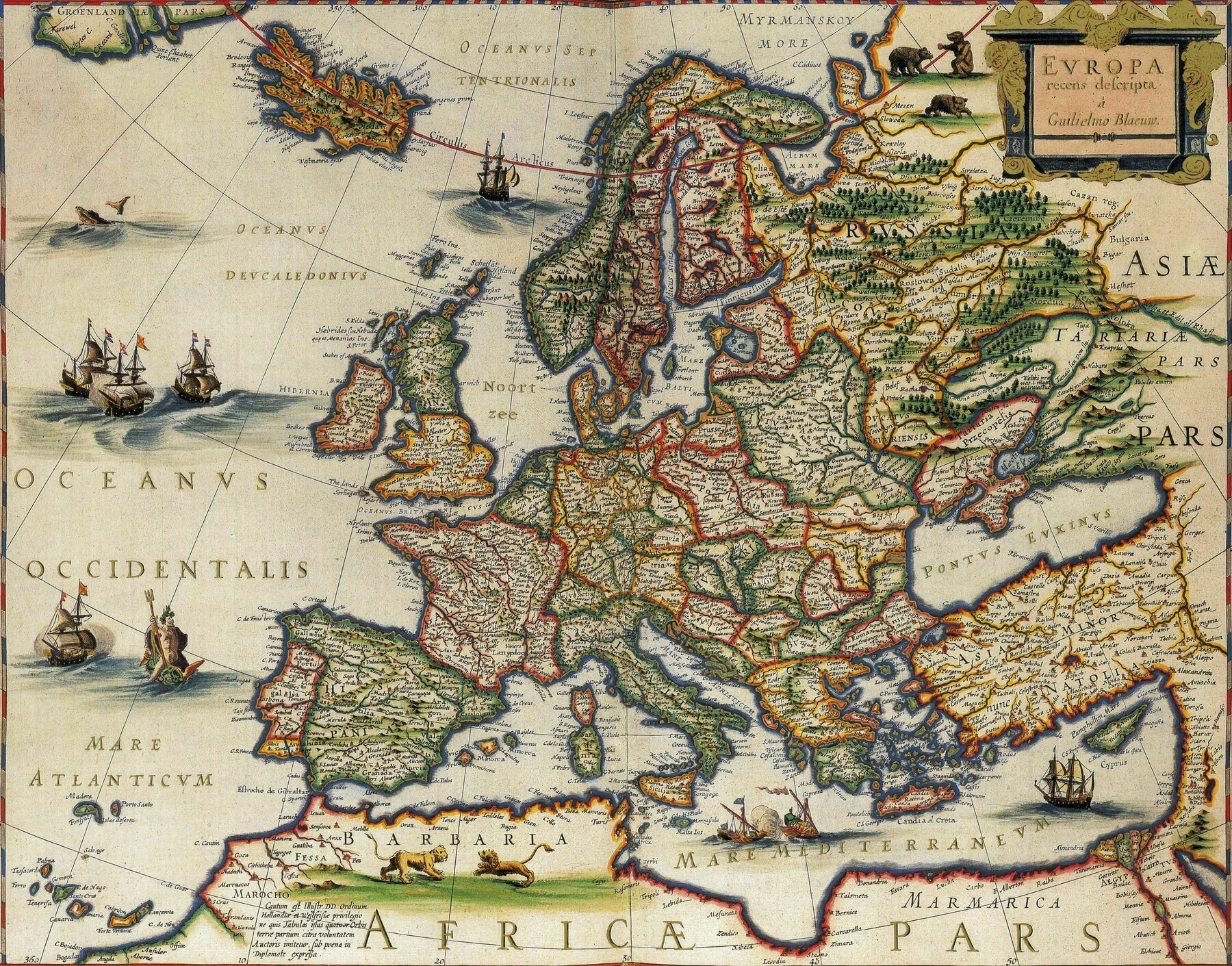
“Interesting how the Scottish islands and the south of Portugal seem to be independent also how the Scottish border seems to extend to Newcastle where Hadrian’s wall once was … The south of Portugal is the Kingdom of the Algarve. Scotland conquered Newcastle during the English Civil War”–whoah