1940 pictorial map of Utah and Nevada - by R.T. Aitchison
1940 pictorial map of Utah and Nevada - by R.T. Aitchison
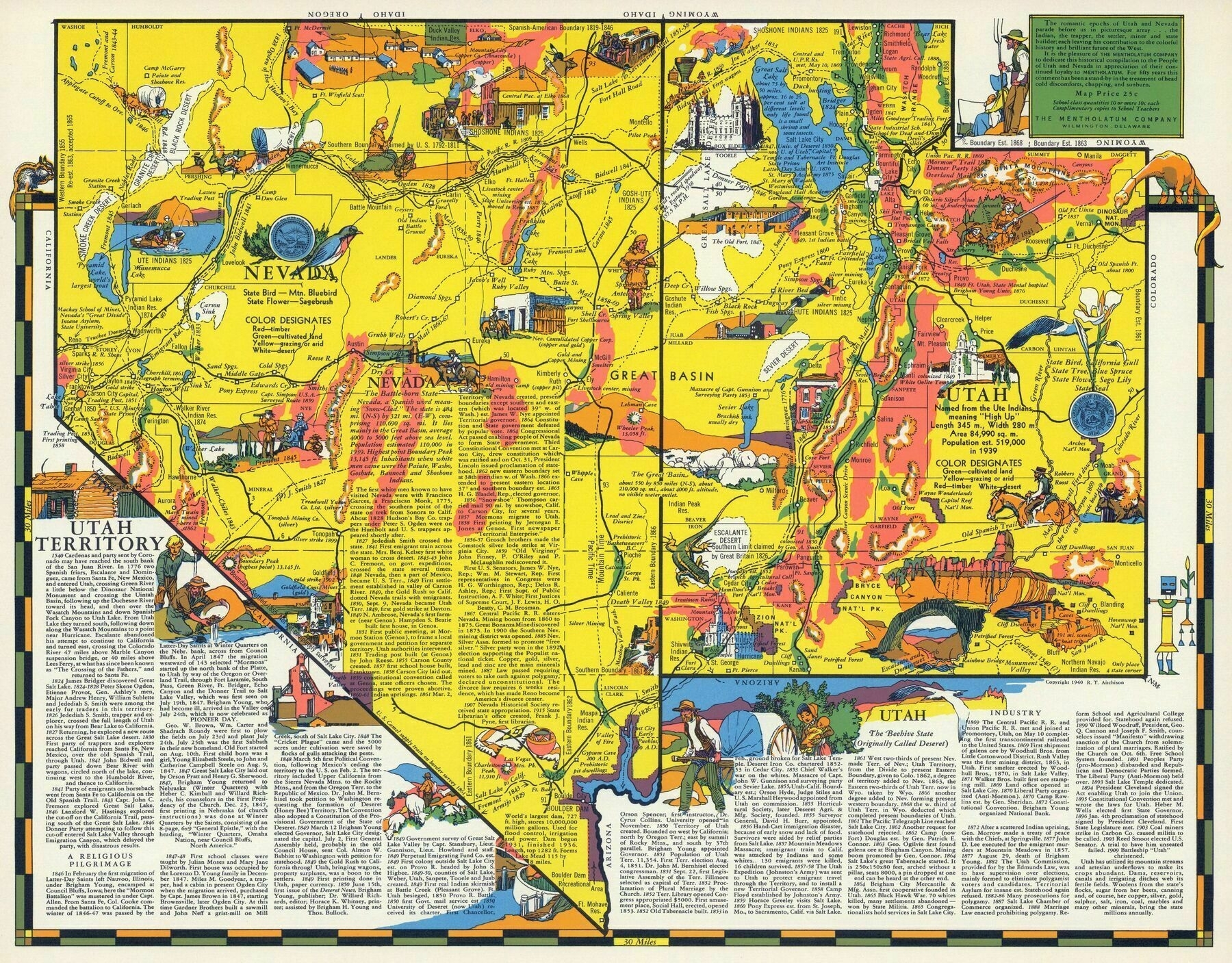
“It was all so beautiful and free back then, before the population explosion, before nuclear testing and dowinder cancer, before Glen Canyon was flooded and killed, before Las Vegas was a major crime and population sewer”–UtahBrian