1816 Map of the United States
1816 Map of the United States
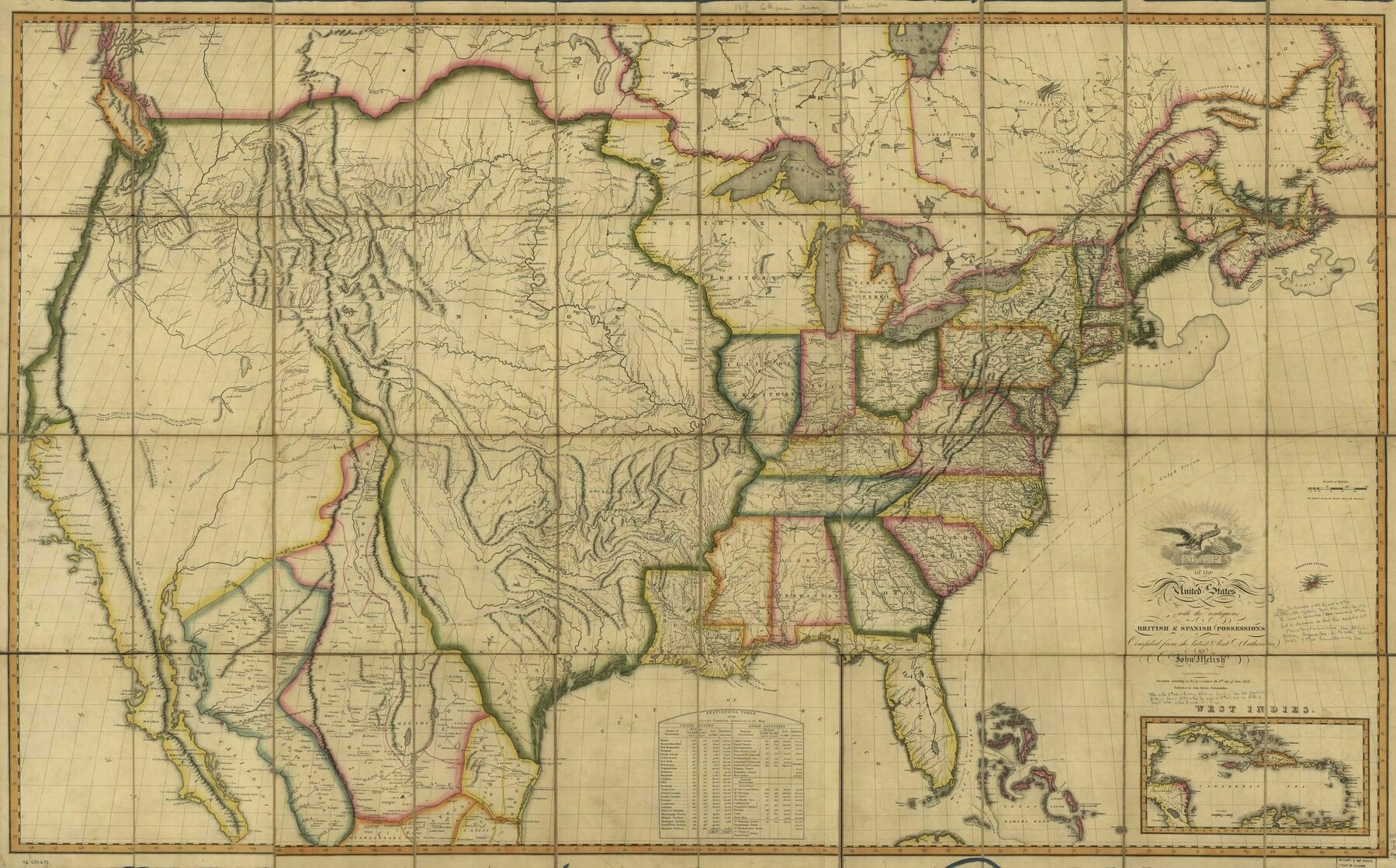
‘Is the lake Michigan/Illinois/Indiana area just mis-mapped here or were the territories realigned later?
Both. Illinois was still a territory, so it had a bit of adjustment when it became a State, but the Mississippi’s path also isn’t exactly right. Many period maps place Lake Michigan further east than it actually was, and the northern borders of Ohio and Indiana would both be reworked after Michigan became a State’