1875 map of the Pacific - by Adolf Steiler
1875 map of the Pacific - by Adolf Steiler
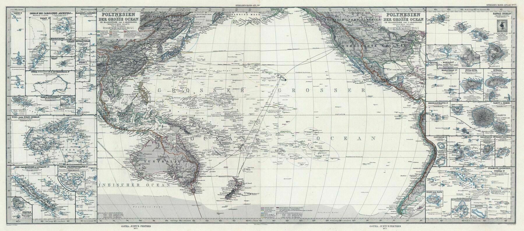
‘Love Pacific maps. They’re just about the only area of the world where I still always learn something new. Particularly like how this one has highlighted different archipelagos/territories. Makes them easier to remember. Also I didn’t realise the pack ice went that far north in 1875! So close to Tierra del Feugo and encircling Macquarie Island!’