Satellite map of Mali
Satellite map of Mali
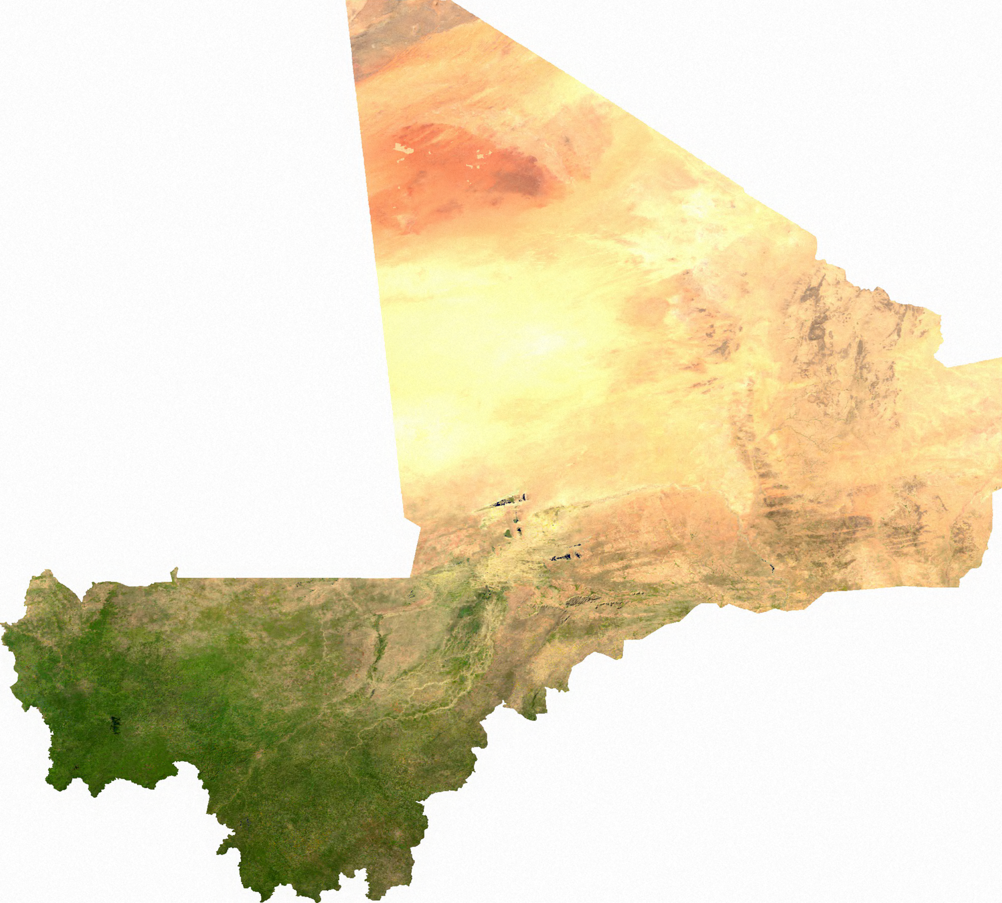
‘Mali might be the best example of Europeans drawing borders. It just doesn’t look real, especially in a satellite image. Straight lines through the sand, two completely different climates, landlocked. It just looks fake
Lo and behold, that massive desert chunk in the North is completely ethnically and functionally politically distinct from the densely inhabited, green southern portion
Who could have guessed that people who live in very very different conditions, with very different lifestyles, mostly isolated from one another would be politically distinct’