1962 map of the Lake Burley Griffin area, Canberra
1962 map of the Lake Burley Griffin area, Canberra
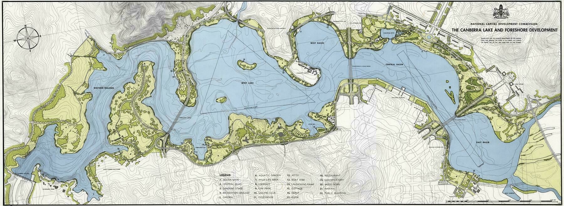
‘Awesome map, thanks for sharing. Wonder if the NCA still has any long term plans to add in the Yarralumla bridge and the bridge to the top east of East Basin?
A link from the Kingston foreshore to Piallago might be good if it doesn’t impact wildlife in the wetlands.
edit: Grevillea Park and Molonglo Reach has development potential as well but it is close to the palliative care hostel’