Pictorial map of the Maritime Provinces of Canada (1963)
Pictorial map of the Maritime Provinces of Canada - by Peter R. Furse (1963)
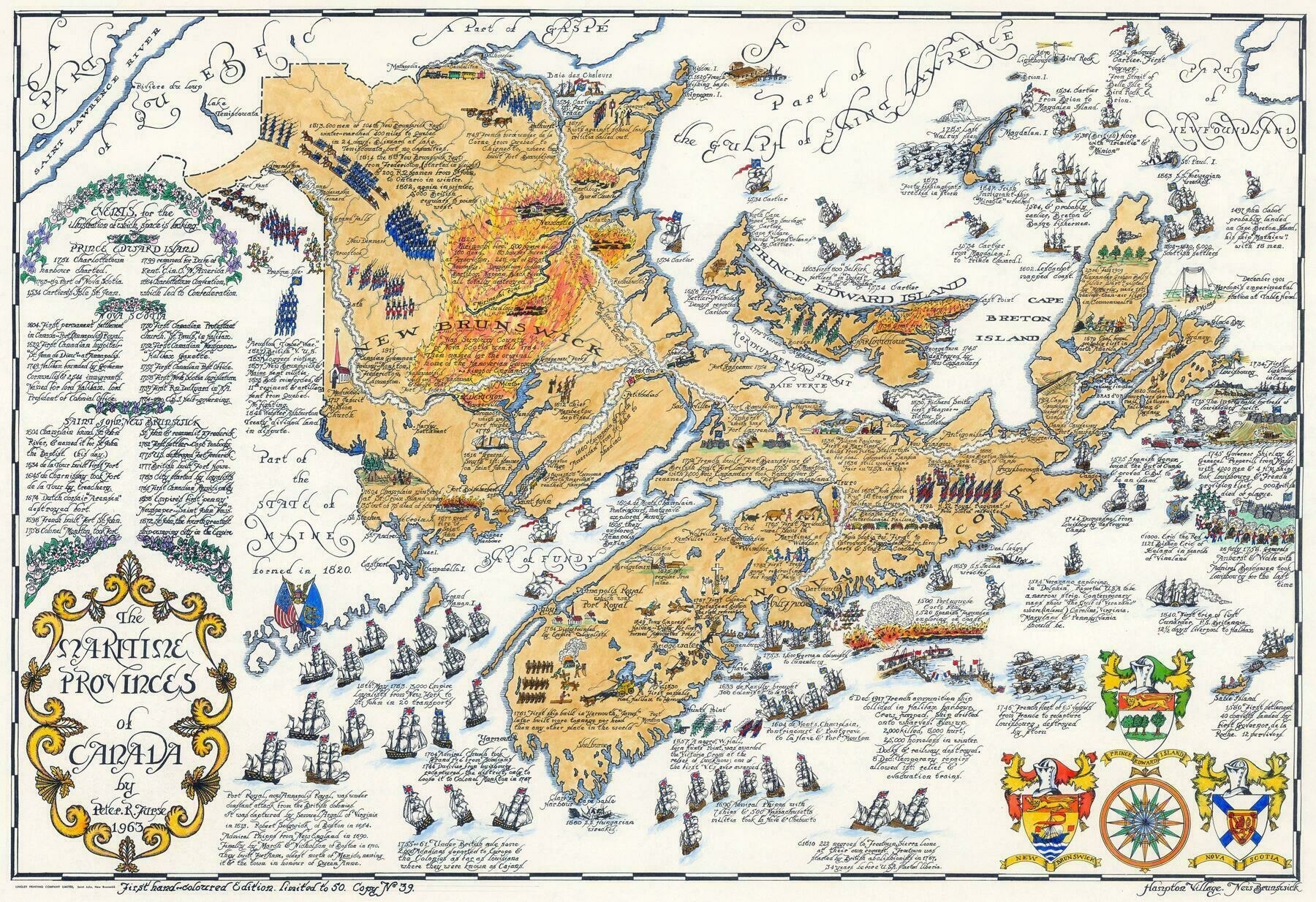
‘very cool, kinda suprisingly well detailed
also it appears that this map has Porters Lake (about 25 km east of Halifax)split into two seperate lakes, which is odd’