1717 map of far north Scandinavia and Svalbard
1717 map of far north Scandinavia and Svalbard - by George Willdey
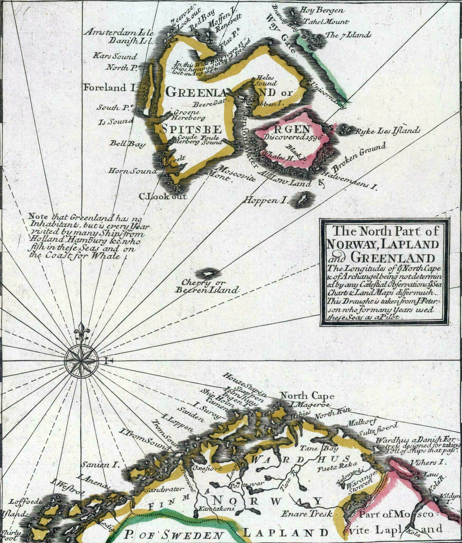
‘Why does it says Greenland?
Apparently in the 17th-18th centuries whalers often referred to the Svalbard archipelago as Greenland. I don’t know why, since proper Greenland was already known as such by then’