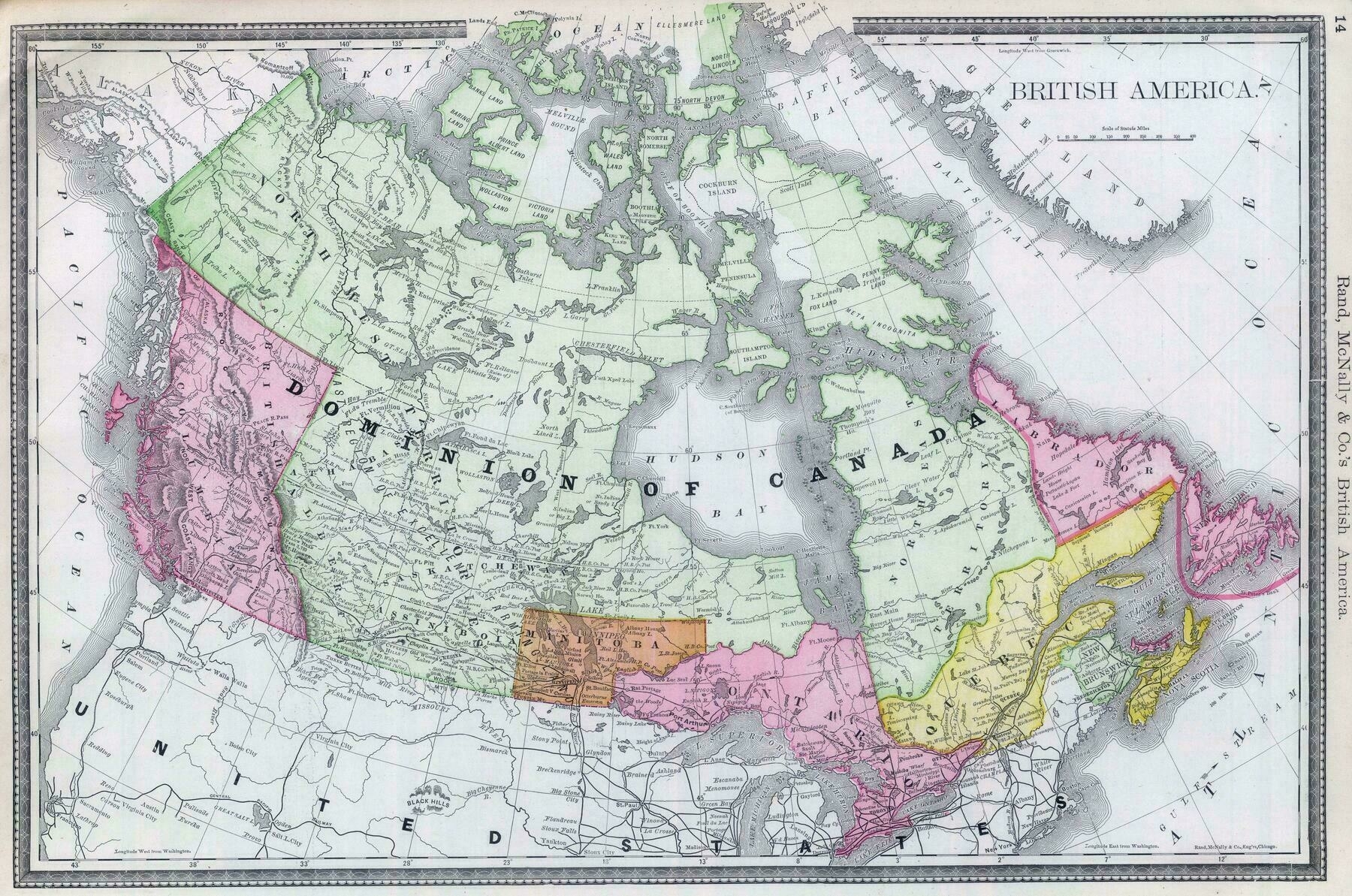
Rand McNally map of Canada (1889)
Rand McNally map of Canada (1889)

‘I didn’t realize Saskatchewan used to be like that
Those were the districts of the North West Territories at the time. The districts of Assiniboine, Alberta, Saskatchewan, and Athabasca would be combined to make the two provinces of Saskatchewan and Alberta in 1905.
Originally, Frederick Haultain, Premier of the NWT during that time, was pushing for a province of Buffalo, which would include all of the two provinces lands. Prime minister Laurier, fearing a provincial rival to the existing duopolistic control of Ontario and Quebec, split it at the 110th meridian’
