1904 map of Argentina, and the surrounding countries Chile, Uruguay and Paraguay - by Pablo Ludwig
1904 map of Argentina, and the surrounding countries Chile, Uruguay and Paraguay - by Pablo Ludwig
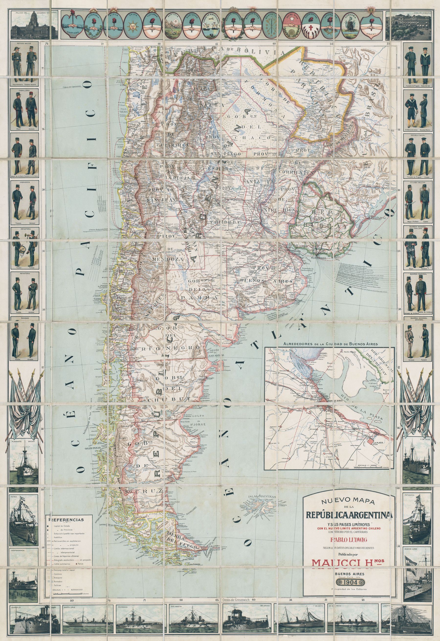
1904 map of Argentina, and the surrounding countries Chile, Uruguay and Paraguay - by Pablo Ludwig
Argentine map of South Georgia (1946)
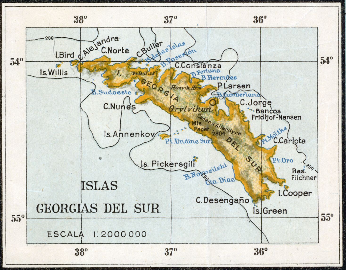
‘I’ve been to Grytviken to the whaling station and to King Edward point around the corner it’s an amazing place. King penguins everywhere and i also saw Ernest Shackletons grave’–AlexWheeldon
1812 map of the United Provinces of the Rio de la Plata - by John Pinkerton

Argentina mean wind speed (200m)
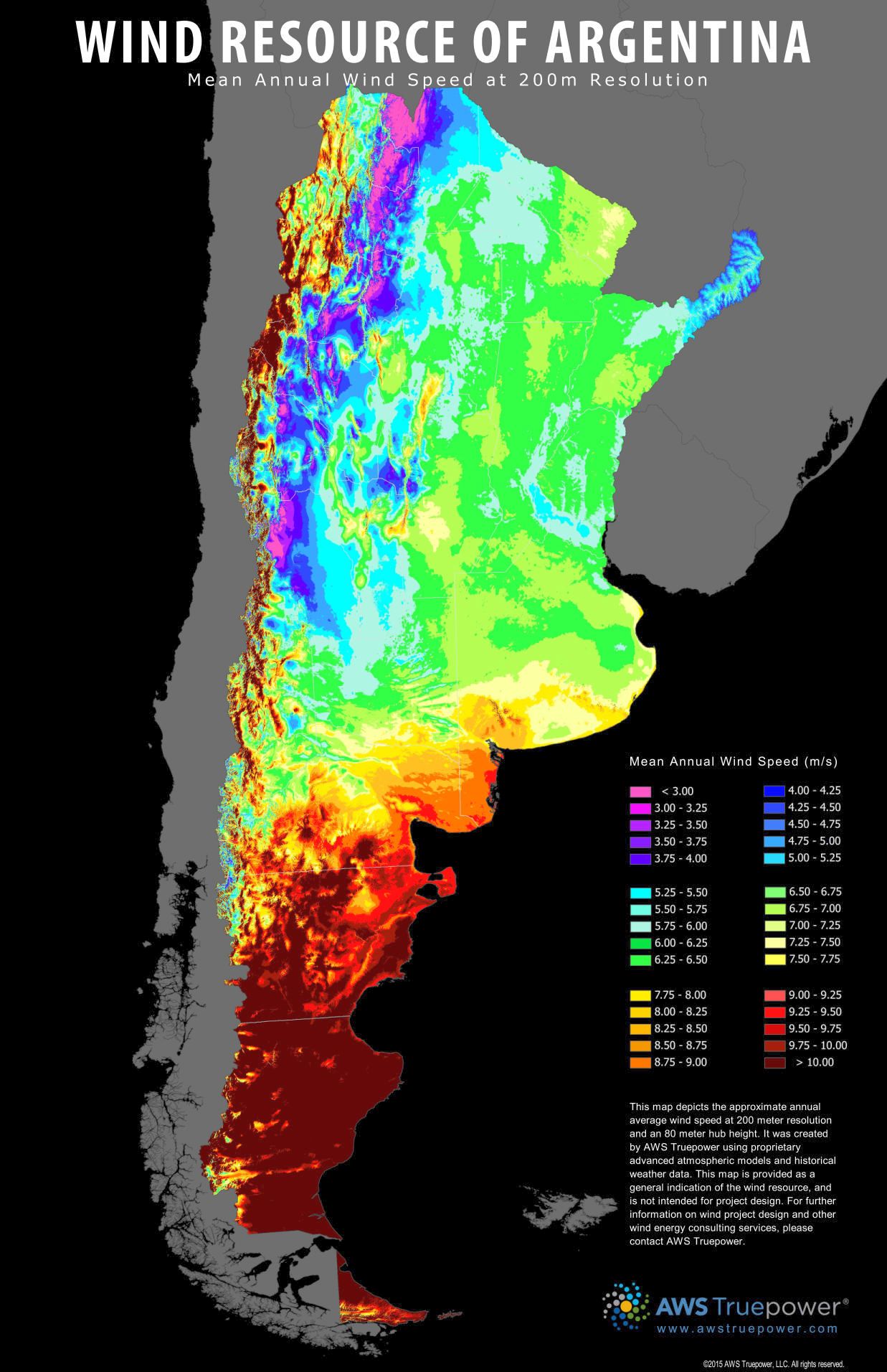
“Looks about right to me. Patagonia be windy af”–minased
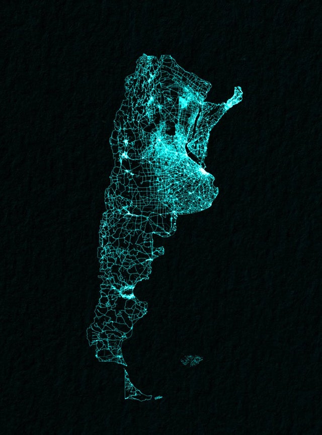
Argentina drawn up by roads
