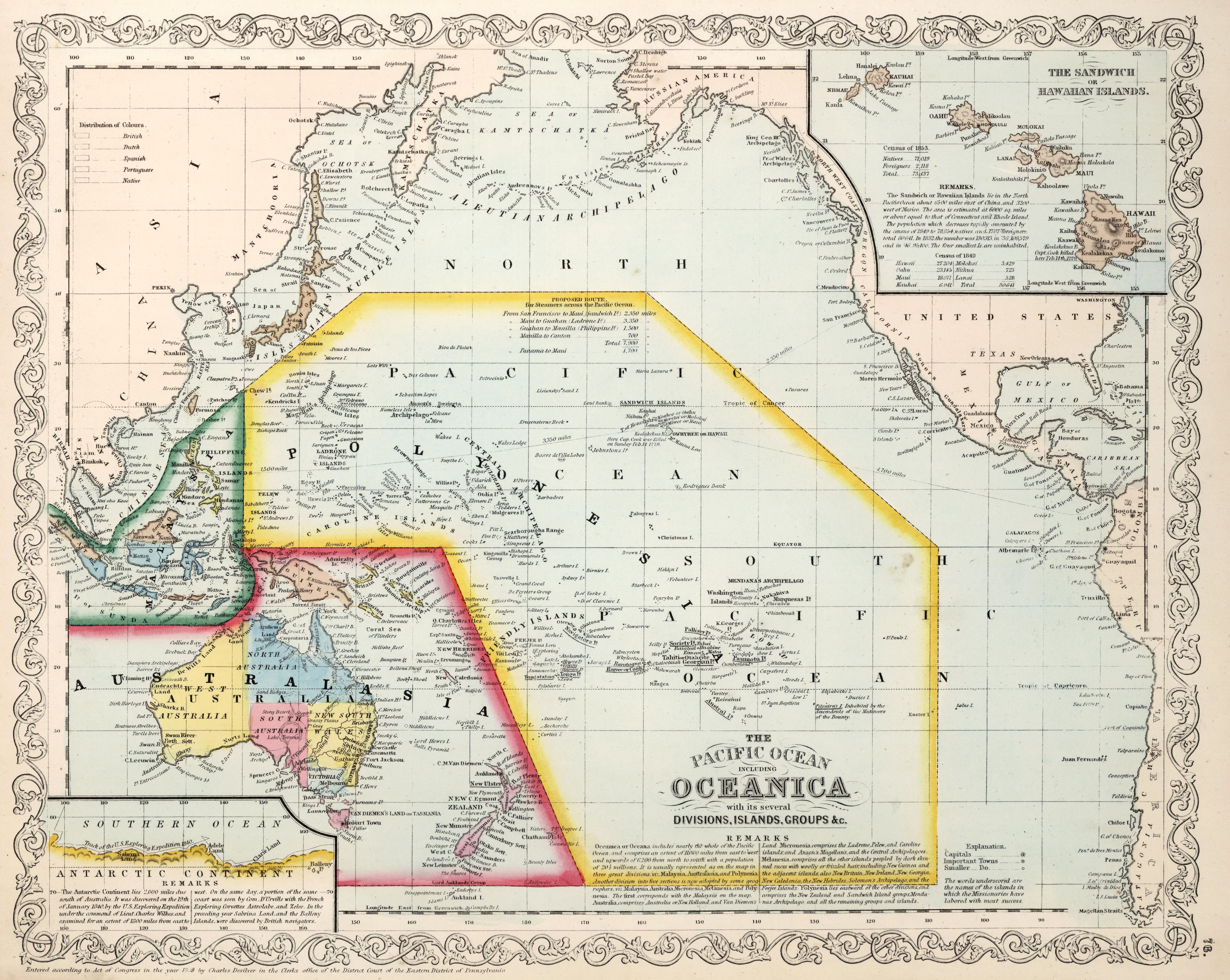
1908 Ottoman map of the Pacific area
1908 Ottoman map of the Pacific area
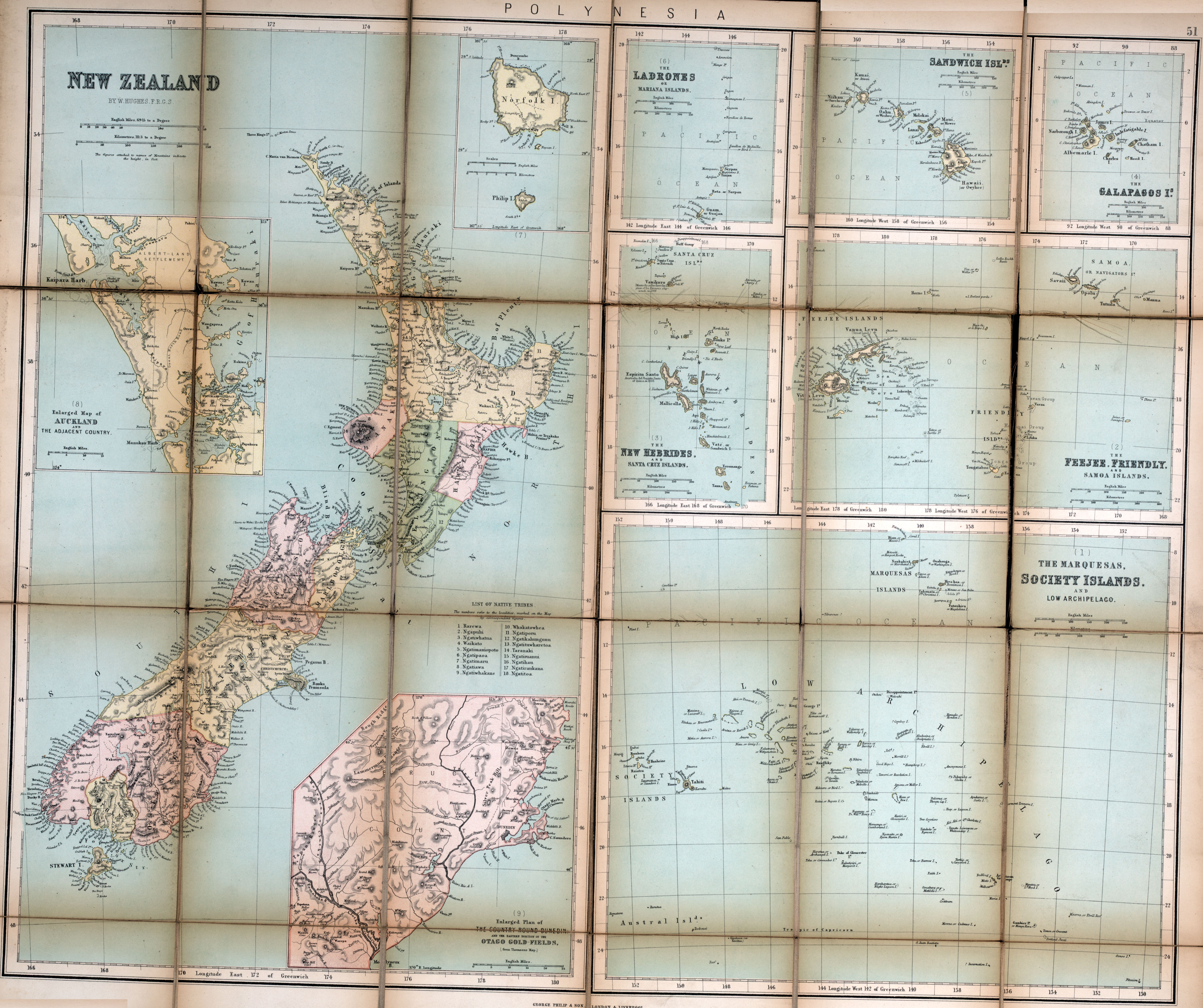
‘Polyyyyyyyyyyyyyyyyyyynesiiiiiiiiiiiiiiiiiiiiiiiiiiiiiiiiiiiiiiiiiiiiiiiiiiiiiiiiiiiiiiiiiiiiiiiia and also Assssssssssssssssssssssssssssssssssssssssssssia’
1908 Ottoman map of the Pacific area
‘Polyyyyyyyyyyyyyyyyyyynesiiiiiiiiiiiiiiiiiiiiiiiiiiiiiiiiiiiiiiiiiiiiiiiiiiiiiiiiiiiiiiiiiiiiiiiia and also Assssssssssssssssssssssssssssssssssssssssssssia’
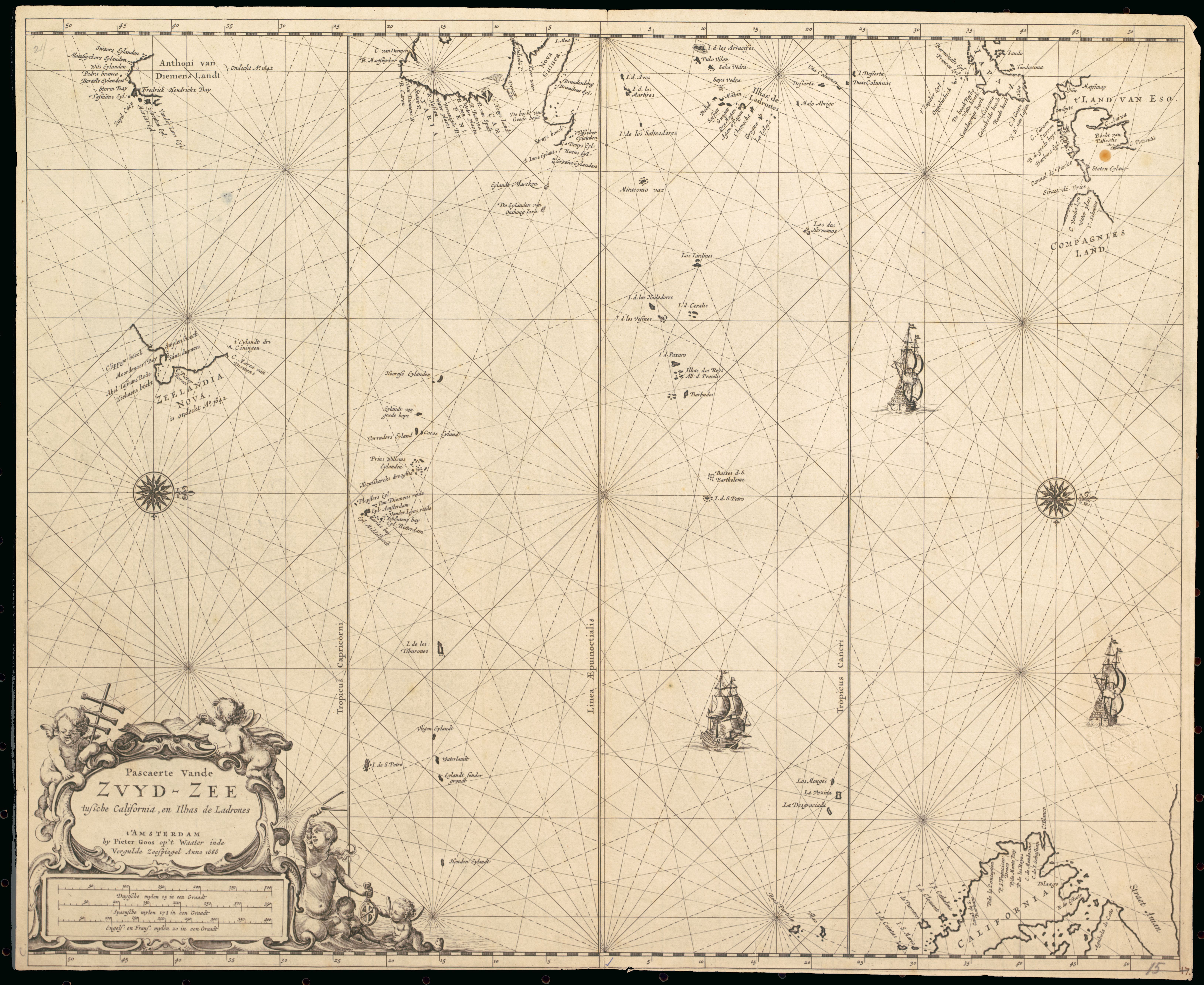
Plans of Islands in the South Pacific, 1946
‘Are these just imaginary island drawings?…Not at all. What makes you think that?
…with a Masters Degree as well – the mind boggles…’
East Asia and Pacific solar energy potential
[9449 × 9449]
Asia Pacific (1994)
[9788 x 5990]
Satellite image of Nauru
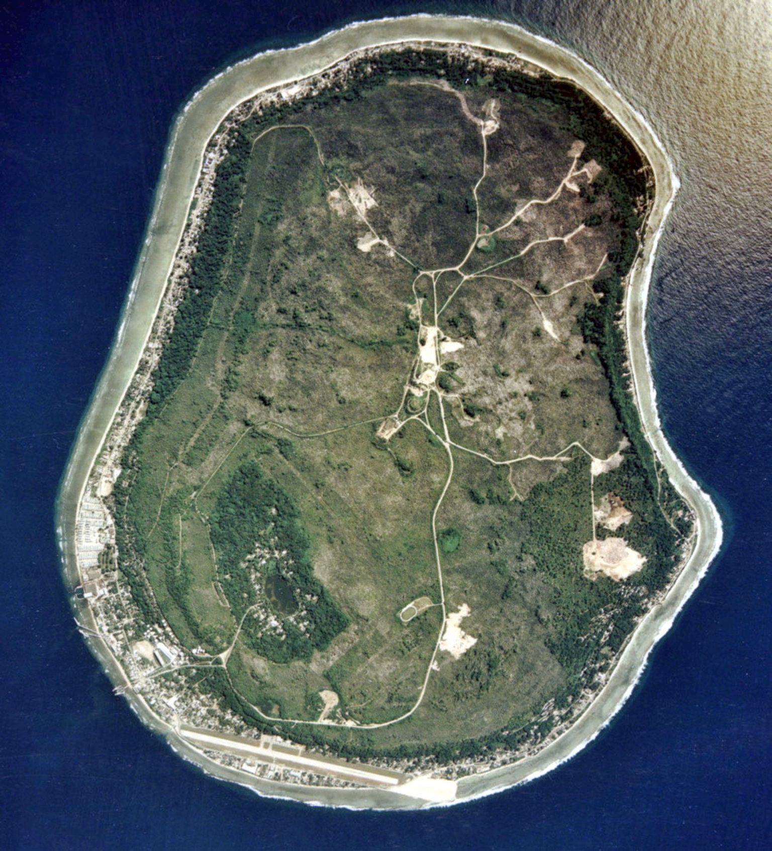
“Nauru is the 3rd smallest country and the country with the highest rate of obesity in the world”–trambolino
size: 6604 × 5263
size: 7480 × 6270
