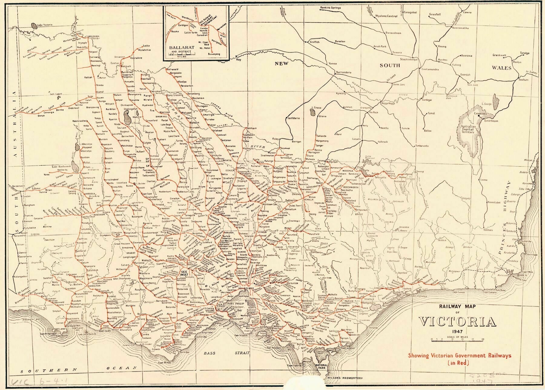
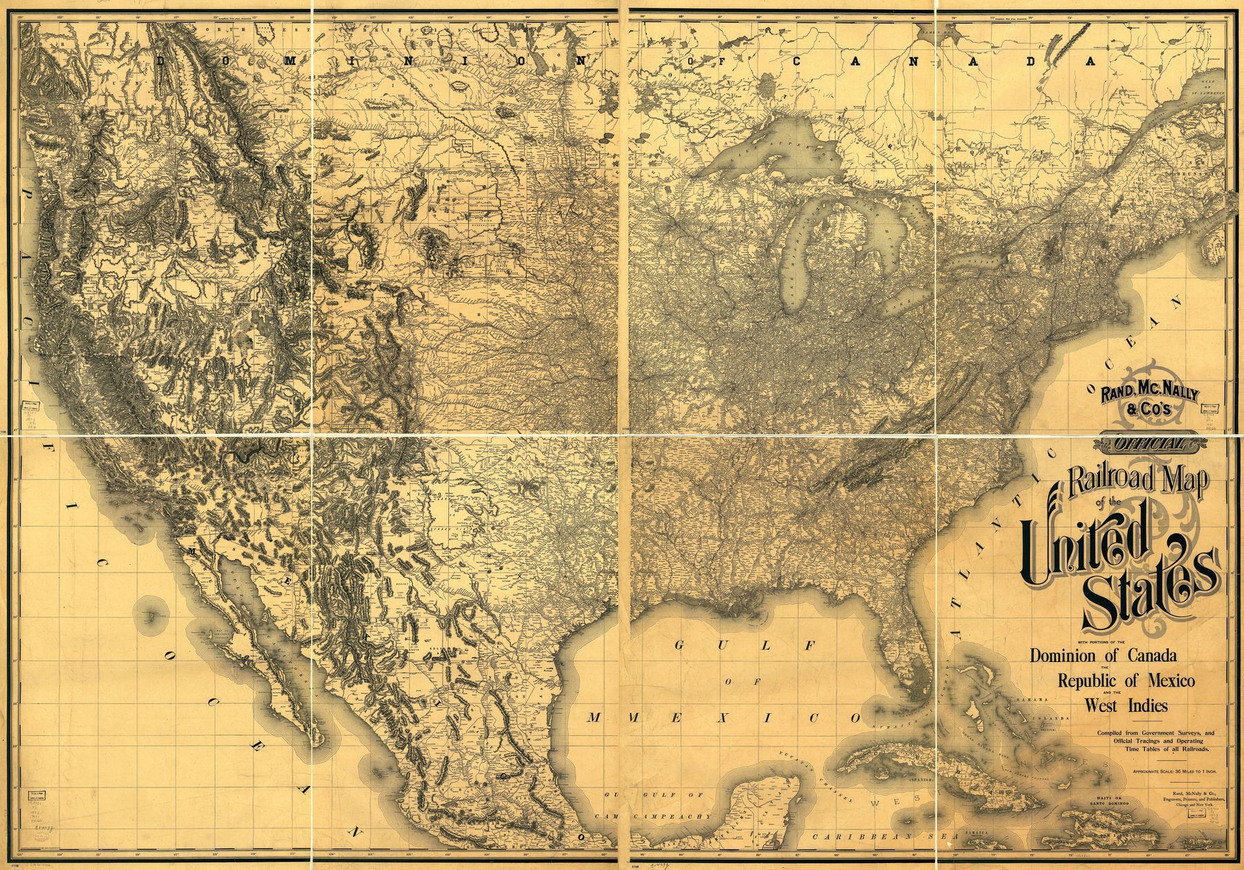
1880s map showing the railway systems of Australia
1880s map showing the railway systems of Australia
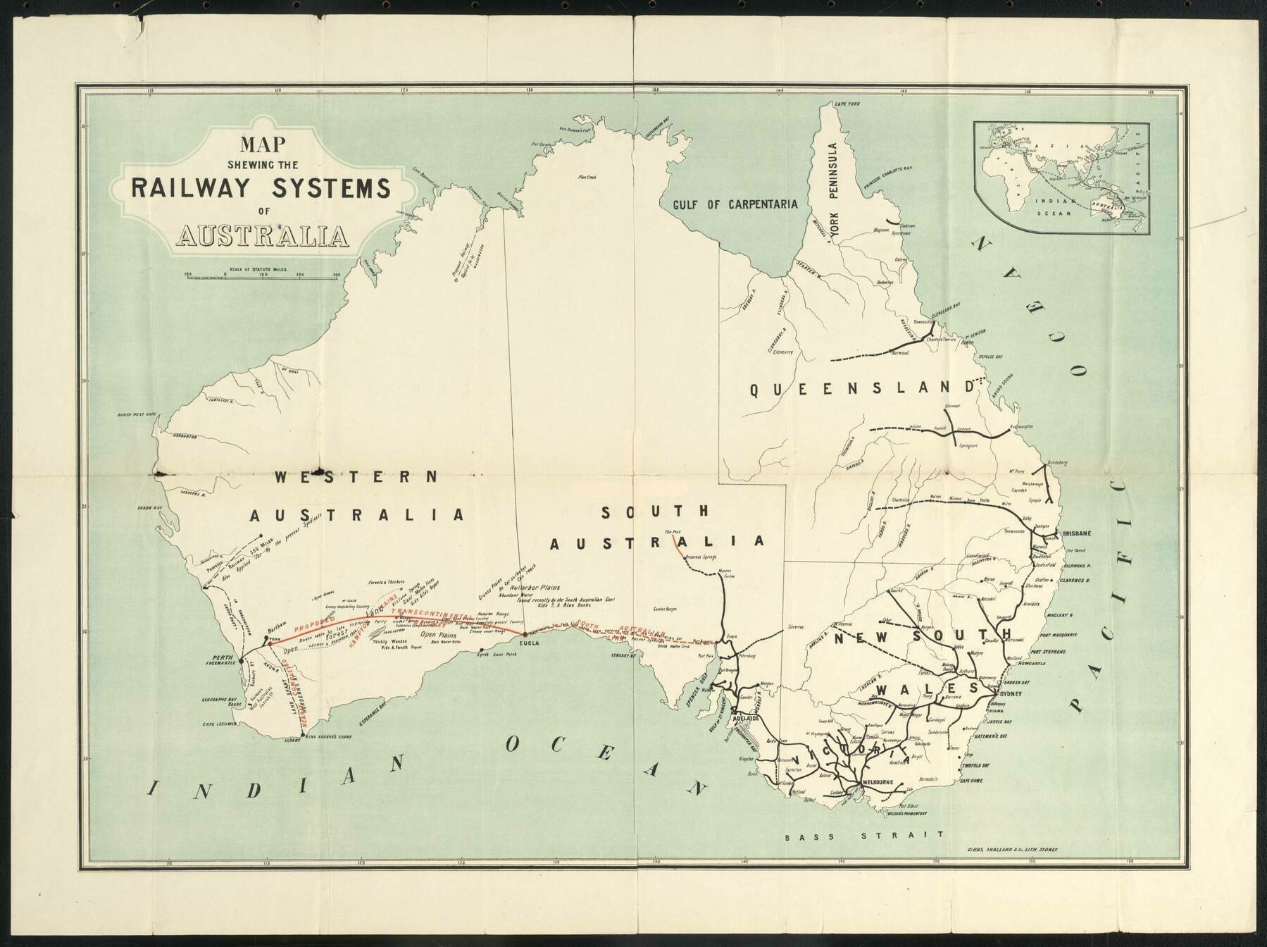
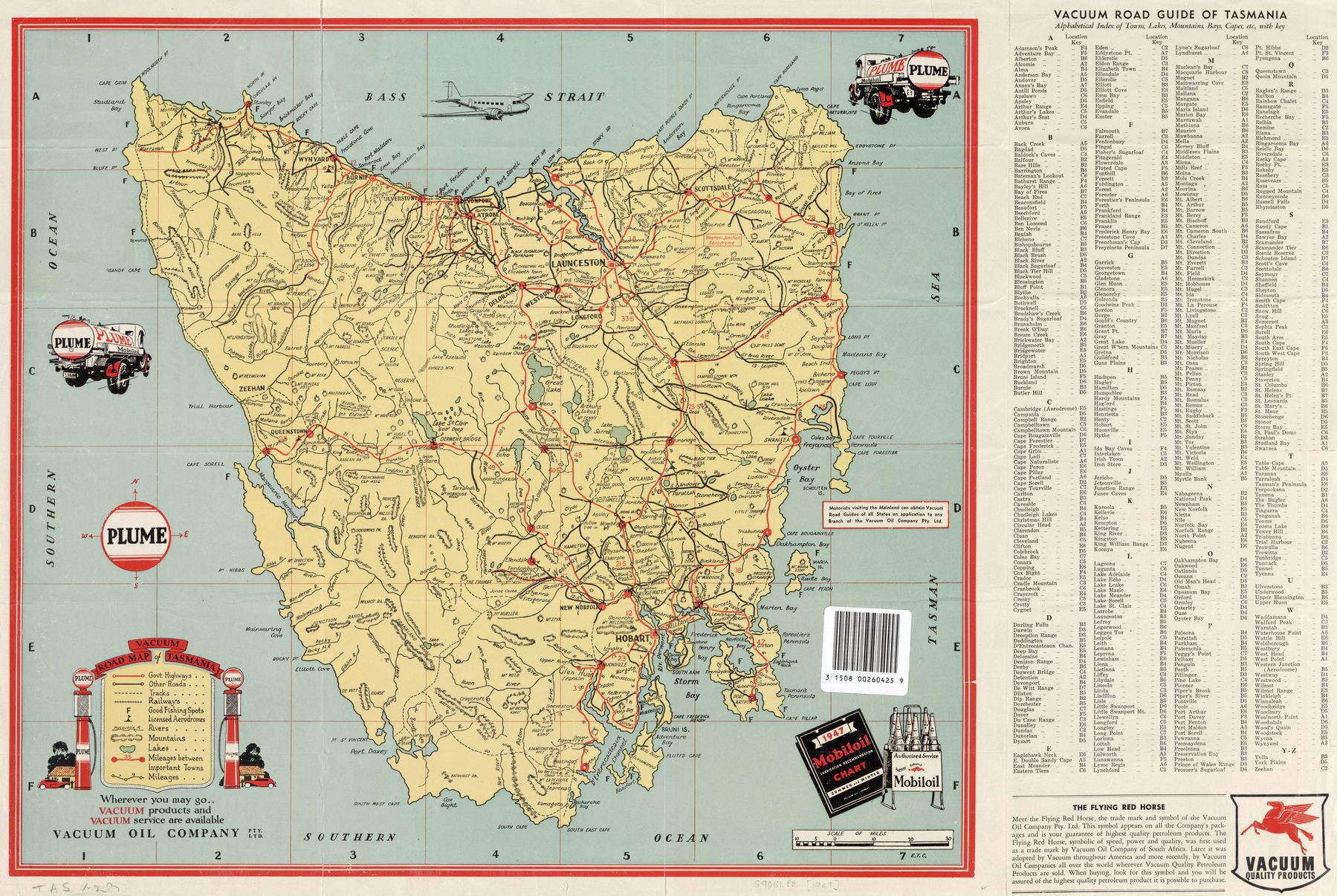
‘Was going to whinge they left out Tasmania, but then again, being the 1880’s, Tasmania was a totally independent colony, no more a part of ‘Australia’ (as a unified concept) than NZ, Malaysia, or any other British colony in the region. But from the modern perspective, it seems odd. The focus on the trans-continental seems to be the primary reason for the choice of area covered/features shown
Also because no one gives a shit about tasmania
As a Tasmanian I agree’


